UAV flights: mapping and topographical measures
UAV flights can be used to obtain detailed images of observed areas: this approach can be used in many environmental analysis and monitoring activities. Here some examples of our last flights.
Pinus sylvestris decline mapping near Aosta
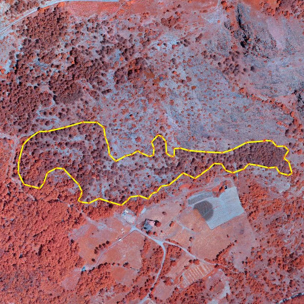
The image shows a Pinus sylvestris forest in the Aosta area. the yellow line outlines the portion of the forest with dead trees. Healthy vegetation has bright red colors while stressed or dead trees have more brownish colors.
Avalanche mapping
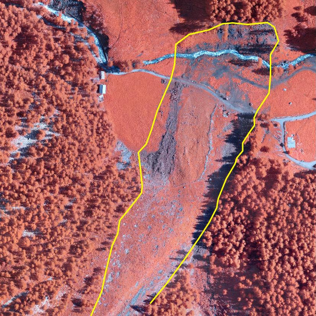
The yellow line outlines the path of last winter (2014) avalanche in Saint Rhémy en Bosses. Grey areas indicates debris accumulation.
Rock glaciers surface movement
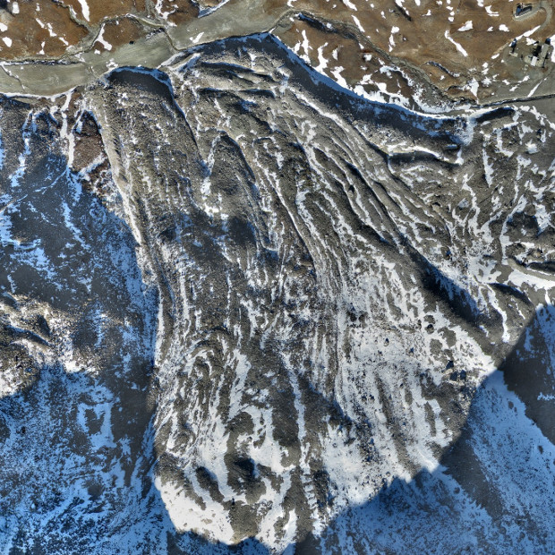
The rock glacier close to Goillet lake in Valtournenche: rock glacier surface movement velocity can be estimated comparing images acquired during consecutive UAV flights.